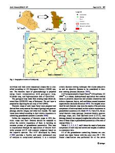
Mapping and assessment of flood risk in Prayagraj district, India: a GIS and remote sensing study
- PDF / 3,079,130 Bytes
- 18 Pages / 595.276 x 790.866 pts Page_size
- 122 Downloads / 734 Views
(2020) 5:11
ORIGINAL PAPER
Mapping and assessment of flood risk in Prayagraj district, India: a GIS and remote sensing study Amit Kumar Saha1 · Sonam Agrawal1 Received: 11 October 2019 / Accepted: 23 April 2020 © Springer Nature Switzerland AG 2020
Abstract Flood is a catastrophic natural disaster event that is immensely threatening and affecting ecosystems as well as human lives all over the world. Flood frequently occurs in Indian districts during the monsoon season. Districts situated near the rivers are more prone to the flood risk. It is not possible to completely eliminate the flood risk, but its impact can be significantly reduced by geographic information system (GIS) and remote sensing-based solutions. This study is an attempt to calculate the extent of past floods and land use/land cover (LULC) classes affected by flooding using the GIS and remote sensing technique in the Prayagraj district of India. The flood risk mapping is performed by integrating the GIS with multi-criteria decision-making method called analytical hierarchy process (AHP). Flood affecting parameters are identified, which are drainage density, elevation, flow accumulation, LULC, roughness, slope and topographic wetness index. A flood risk map is generated through AHP and validated by the ROC curve method. Flood risk map has revealed that in the study area 701.71 km2 (12.80%) region comes under the high risk, while 1273.0 km2 (23.22.8%) region comes under the moderate risk. Keywords Flood · Analytical hierarchy process (AHP) · GIS · Remote sensing · Multi-criteria decision making
Introduction Flood is endangering the cities and non-urban areas all over the world more than any other natural calamity. There are millions of people who get affected by flood events every year [1]. The occurrence of flood events has increased up to a great extent in the entire world over the past three decades [2]. Increased frequency of flooding has made it the most hazardous natural disaster. In some cases, flood events give a considerable amount of unpredictable damages such as glacial lake outburst flood [3] and flash floods like in Uttarakhand in the year 2013 [4], Chennai in the year 2015 [5] and Kerala in the year 2018 [6] to name a few. It may not be possible to prevent the hazards due to flood events, but the implementation of some appropriate methods as the mitigation measures can help to reduce the intensity of disaster and its after effects. There are several causes of a * Sonam Agrawal [email protected] Amit Kumar Saha [email protected] 1
GIS Cell, Motilal Nehru National Institute of Technology Allahabad, Prayagraj, Uttar Pradesh 211004, India
flood [7]. The primary cause of the dynamic changes in the flood risk has happened mainly due to climate changes [8, 9]. Along with this, anthropogenic changes like alteration in the use of land covers do contribute to make flood situations worse. Man-made interventions like urban growth, deforestation, construction of roads across new flood plains, encroachments and landfilling across majo
Data Loading...